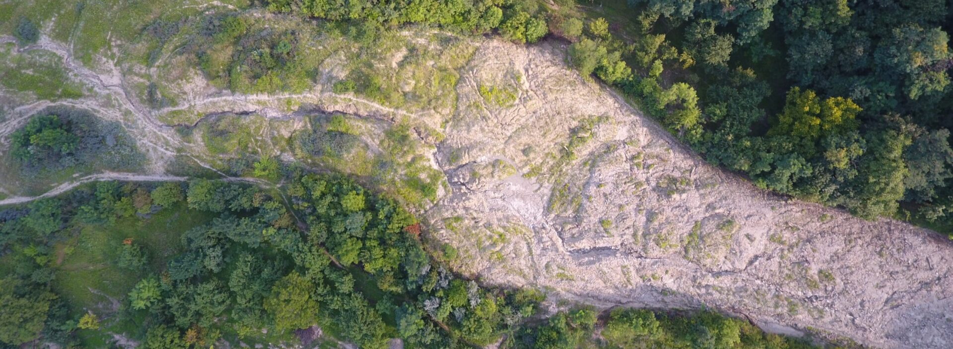
LEAD-Landslide is a cross-border research project dedicated to advancing landslide detection, mapping, and monitoring using Earth Observation (EO) data and Artificial Intelligence (AI). By integrating satellite imagery, UAV data, LiDAR measurements and cutting-edge deep learning models, the project provides high-resolution insights into landslide activity across Romania and the Republic of Moldova.
Through multi-sensor data fusion, time-enabled landslide inventories, and user-friendly WebGIS tools, LEAD-Landslide enhances risk understanding and supports decision-makers with actionable information. The project also strengthens scientific collaboration between the two countries, creating a shared platform for geohazard research and regional resilience.